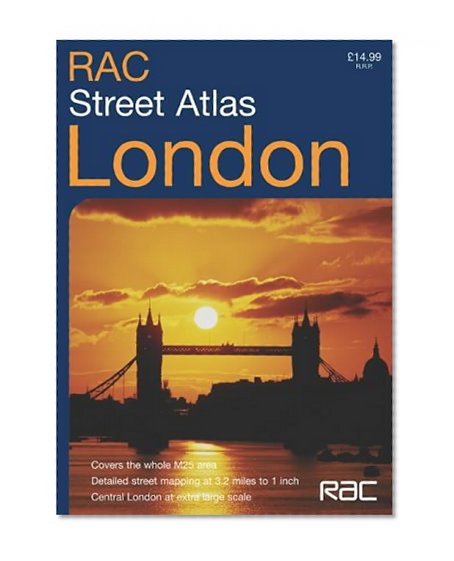


Rac London Street Atlas (ROAD ATLAS)
Book Details
Ratings & Reviews
No reviews yet — be the first!
No reviews yet.
Description
1:20,000 3.2 inches to 1 mile, 1:10,000 6.3 inches to 1 mile. Brand new RAC atlas of London covering the whole of the M25 area. A huge amount of detail is included with a high level of clarity. Presented in a durable flexi binding. MAIN FEATURES RAC London street atlas covering the whole of the M25 London Orbital Motorway area at 3.2 inches to 1 mile. There is an extended area of Central London stretching from Kensington Gardens to Greenwich at the extra large scale of 6.3 inches to 1 inch. INCLUDES * Colour classified roads and buildings * Postal district boundaries * Car parks, hospitals and police stations * Places of interest AREA OF COVERAGE Extends from Brookmans Park in the north to Redhill in the south and from Slough in the west to Gravesend in the east. WHO THE PRODUCT IS OF INTEREST TO Especially designed for the local resident and business professional alike. It has a wealth of detail but retains its clarity. It has a fine grid system making it extremely easy to use.