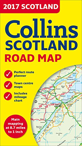
2017 Collins Scotland Road Map
8.95
USD
Book Details
Author(s)
Collins UK
Publisher
HarperCollins UK
ISBN / ASIN
0008158592
ISBN-13
9780008158590
Sales Rank
#758,495
Marketplace
United States 🇺🇸
Ratings & Reviews
No reviews yet — be the first!
No reviews yet.
Description
This full color map of Scotland, at 8.7 miles to 1 inch (1:550,000), covers the whole of Scotland and part of Northern England conveniently on one side, and is ideal for reference or route planning. Fully updated for 2017, with administrative areas shown in color and clear, detailed road networks and road distances, this map has town and city names, rivers, railway lines, and canals clearly shown, with seven city/town center street plans showing places of interest. It also includes an index to place names, a mileage chart, car ferry routes, and a key in English, French, and German.
Similar Products