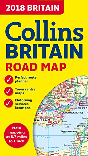
2018 Collins Britain Road Map
📄 Viewing lite version
Full site ›
7.95
USD
🛒 Buy New on Amazon 🇺🇸
Book Details
Author(s)Collins UK
PublisherHarperCollins UK
ISBN / ASIN0008214581
ISBN-139780008214586
Sales Rank529,197
MarketplaceUnited States 🇺🇸
Description ▲
Full color double-sided map of Great Britain at 8.7 miles to 1 inch, with clear, detailed road network and administrative areas shown in color. With its political coloring of counties and unitary authorities it is ideal for business users but also perfect for tourists as a route planning map. Includes: town and city names, rivers, railway lines, and canals; 16 city/town center street plans; place names index; mileage chart; car ferry routes; and key in English, French, and German. Covers the whole of Britain, with Northern England, Scotland, and the Isle of Man on one side and Southern England and Wales on the other.
Similar Products ▼
- 2018 Collins Britain Big Road Atlas
- Lonely Planet Great Britain Planning Map
- Back Roads Great Britain (DK Eyewitness Travel Guide)
- 2018 Collins Ireland Road Map
- Fodor's Essential England (Full-color Travel Guide)
- United Kingdom (National Geographic Adventure Map)
- Collins Pocket Map London
- StreetSmart London Map by VanDam - City Street Map of London, England - Laminated folding pocket size city travel and Tube map with all museums, attractions, hotels and sights; 2018 Edition
- DK Eyewitness Travel Guide England's South Coast
- Rick Steves England