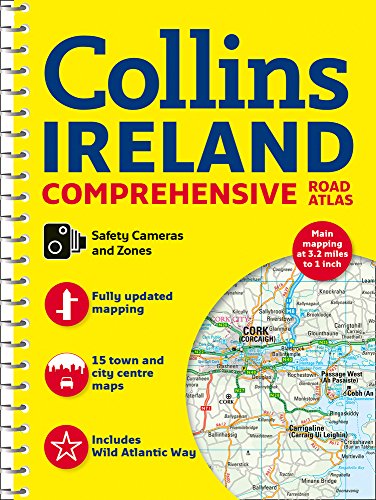
Collins Ireland Comprehensive Road Atlas
📄 Viewing lite version
Full site ›
Book Details
Author(s)Collins UK
PublisherCollins
ISBN / ASIN0008270333
ISBN-139780008270339
AvailabilityOnly 1 left in stock - order soon.
Sales Rank1,228
CategorySpiral-bound
MarketplaceUnited States 🇺🇸
Description ▲
This comprehensive, general purpose road atlas of the whole of Ireland is ideal for both business and pleasure use. The atlas contains a range of mapping scales: a 9 miles to 1 inch route planning map; main maps at 3.2 miles to 1 inch, which are ideal for navigation; and a wide selection of detailed town center street plans. This edition boasts road mapping packed with detail, showing color classified road network, toll roads, land heights, the location of safety cameras, Blue Flag and Green Coast beaches, tourist information centers and a wide range of tourist attractions. There is also comprehensive guide information for visitors to Belfast, Cork, Dublin and Limerick. The locations of Speed Enforcement Zones, which highlight roads that have a high risk of accidents as identified by the Garda and the National Roads Authority, are included. There is also a wide range of fully indexed town and city center maps. These are: Bangor, Belfast, Cork, Drogheda, Dublin, Dún Laoghaire, Galway, Kilkenny, Killarney, Limerick, Lisburn, Londonderry (Derry), Newry, Newtownabbey and Waterford.
Similar Products ▼
- Ireland (National Geographic Adventure Map)
- Back Roads Ireland (DK Eyewitness Travel Guide)
- Fodor's Essential Ireland 2019 (Full-color Travel Guide)
- Rick Steves Ireland 2019
- Collins Touring Map Ireland
- Lonely Planet Ireland Planning Map
- Frommer's Ireland 2019 (Complete Guides)
- Michelin Ireland Map 712 (Maps/Country (Michelin))
- DK Eyewitness Travel Guide Ireland: 2019
- Collins Handy Map Ireland
More Books in Spiral-bound
Websites and the Law: Protect Your Position (Thorogood…
View
Writing the Research Paper: A Handbook.. Anthony Winkl…
View
COMMUNICATE WITH ME: PUBLIC COMMUNICATION AS ENLARGED …
View
American English in Mind Level 4 Teacher's Edition
View
Pink Princess Cupcakes
View
The Essentials of Real Love Bible Workbook
View
Auto Body Repair News Training Guide: Volume 1
View
William Yeoward: The Perfect Host: Your Entertaining P…
View
Electrical Inspection Notes: Up to Code
View