2019 Collins Road Map Ireland
📄 Viewing lite version
Full site ›
Book Details
Author(s)Collins Maps
PublisherHarperCollins UK
ISBN / ASIN0008272727
ISBN-139780008272722
Sales Rank237,998
MarketplaceUnited States 🇺🇸
Description ▲
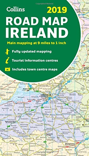
Full color map of Ireland at 9 miles to 1 inch (1:570,240), with clear, detailed road network and counties and new administrative areas shown in color. Main features: New administrative areas shown in color. Clear, detailed road network. Town and city names, rivers, lakes, spot heights, railway lines and canals clearly shown. City/town center street plans of Belfast, Cork, Dublin, Dún Laoghaire, Galway, Limerick Londonderry/Derry and Waterford showing places of interest. Full index to place names. Mileage chart. Car ferry routes. Key in English, French and German.
Similar Products ▼
- Fodor's Essential Ireland 2019 (Full-color Travel Guide)
- Rick Steves Ireland 2019
- 2019 Collins Road Map Scotland
- Collins Ireland Comprehensive Road Atlas
- Frommer's Ireland 2019 (Complete Guides)
- Back Roads Ireland (DK Eyewitness Travel Guide)
- Lonely Planet Ireland Planning Map
- DK Eyewitness Travel Guide Ireland: 2019
- Ireland (National Geographic Adventure Map)
- 2019 Collins Road Map Britain