A completely updated and expanded edition of the cult bestseller, featuring subway, light rail, and streetcar maps from New York to Nizhny Novgorod
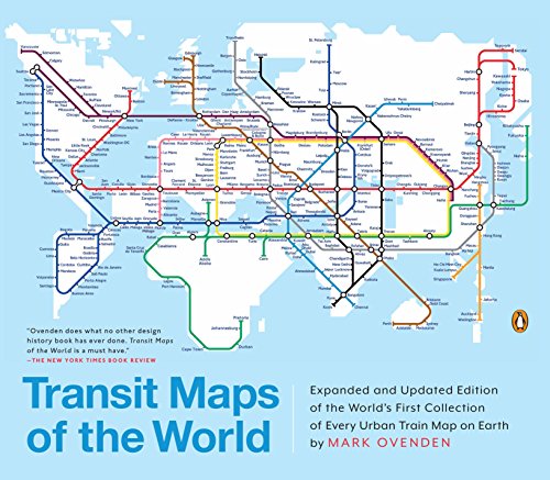
Transit Maps of the World is the first and only comprehensive collection of historical and current maps of every rapid-transit system on earth. In glorious, colorful graphics, Mark Ovenden traces the cartographic history of mass transit—including rare and historic maps, diagrams, and photographs, some available for the first time since their original publication.
Now expanded with thirty-six more pages, 250 city maps revised from previous editions, and listings given from almost a thousand systems in total, this is the graphic designer’s new bible, the transport enthusiast’s dream collection, and a coffee-table essential for everyone who’s ever traveled in a city.
Transit Maps of the World: Expanded and Updated Edition of the World's First Collection of Every Urban Train Map on Earth
📄 Viewing lite version
Full site ›
Book Details
Author(s)Mark Ovenden
PublisherPenguin Books
ISBN / ASIN0143128493
ISBN-139780143128496
AvailabilityUsually ships in 24 hours
Sales Rank62,151
MarketplaceUnited States 🇺🇸
Description ▲
Similar Products ▼
- Great City Maps: A Historical Journey Through Maps, Plans, and Paintings
- Under Ground: Subways and Metros of the World
- The Art of the Airport: The World's Most Beautiful Terminals
- Railway Maps of the World
- Atlas of Cities
- Great Maps: The World's Masterpieces Explored and Explained (Dk Smithsonian)
- Paris Underground: The Maps, Stations, and Design of the Metro
- Human Transit: How Clearer Thinking about Public Transit Can Enrich Our Communities and Our Lives
- The Works: Anatomy of a City
- Transit Maps of the World: The World's First Collection of Every Urban Train Map on Earth