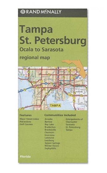
Rand McNally's folded map for Tampa St.Petersburg is a must-have for anyone traveling in and around this part of Florida, offering unbeatable accuracy and reliability at a great price. Our trusted cartography shows all Interstate, U.S., state, and county highways, along with clearly indicated parks, points of interest, airports, county boundaries, and streets. The easy-to-use legend and detailed index make for quick and easy location of destinations. You'll see why Rand McNally folded maps have been the trusted standard for years.
Regularly updated
Full-color maps
Clearly labeled Interstate, U.S., state, and county highways
Indications of parks, points of interest, airports, county boundaries, downtown & vicinity maps
Major attractions & Golf Courses
Enlargements of Clearwater, Sarasota, St. Petersburg & Tampa
Easy-to-use legend
Detailed index & Major Street Index
Convenient folded size
© 2013
Communities Included: Arcadia, Bartow, Bay Lake, Bradenton, Brooksville, Clermont, Inverness, Lakeland, Leesburg, Tarpon Springs, Winter Haven, Zephyrhills
Rand McNally Folded Map: Tampa and St. Petersburg Regional Map
📄 Viewing lite version
Full site ›
Book Details
Author(s)Rand McNally
PublisherRand McNally
ISBN / ASIN0528007807
ISBN-139780528007804
AvailabilityUsually ships in 24 hours
Sales Rank294,294
MarketplaceUnited States 🇺🇸