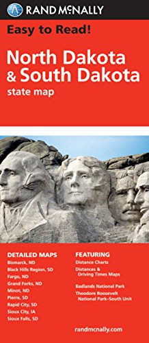
Rand McNally's folded map for North Dakota and South Dakota is a must-have for anyone traveling in or through the states, offering unbeatable accuracy and reliability at a great price. Our trusted cartography shows all Interstate, U.S., state, and county highways and much more.
Points of interest
State park chart
State mileage chart
Driving times map
On-the-road toolbox
Visitor center information
Climate data
State facts & symbols
Easy-to-use legend
Detailed indexed
Coverage Area
Detailed maps include: Bismark, ND; Black Hills Region, Fargo, ND; Grand Forks, ND; Pierre, SD; Rapid City, SD; Sioux Falls, SD
Product Details
Measures 9.0" x 4.125" and folds out to 25.5" x 36.75".
Easy To Read: North Dakota, South Dakota
📄 Viewing lite version
Full site ›
11.29
USD
🛒 Buy New on Amazon 🇺🇸
Book Details
Author(s)Rand McNally,
PublisherRand McNally
ISBN / ASIN0528881833
ISBN-139780528881831
Sales Rank93,138
MarketplaceUnited States 🇺🇸