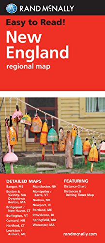
Rand McNally's folded map featuring New England is a must-have for anyone traveling in and around this part of the country, offering unbeatable accuracy and reliability at a great price. Our trusted cartography shows all Interstate, state, and county highways, along with clearly indicated points of interest, airports, county boundaries, and more.
You'll see why Rand McNally folded maps have been the trusted standard for years.
Regularly updated, full-color maps
Clearly labeled Interstate, U.S., state, and county highways
Detail maps of major cities, a mileage chart, and a Mileages & Driving Times Map
Indications of parks, points of interest, airports, county boundaries, and more
Easy-to-use legend
Detailed index
Convenient folded size
Coverage Area
Detailed maps of: Bridgeport, CT; Hartford, CT; New Haven, CT; Boston & Vicinity, MA; Boston Downtown, MA; Springfield, MA; Worcester, MA; Bangor, ME; Lewiston, ME; Portland, ME; Concord, NH; Manchester, NH; Nashua, NH; Newport, RI; Providence, RI; Burlin
Product Details
Measures 9.5" x 4.125" and folds out to 40" x 28".
Folded Map: New England
📄 Viewing lite version
Full site ›
Book Details
Author(s)Rand McNally
PublisherRand McNally
ISBN / ASIN052888185X
ISBN-139780528881855
AvailabilityUsually ships in 24 hours
Sales Rank11,966
MarketplaceUnited States 🇺🇸
Description ▲
Similar Products ▼
- Lonely Planet New England's Best Trips (Travel Guide)
- Fodor's New England: with the Best Fall Foliage Drives & Scenic Road Trips (Full-color Travel Guide)
- Easy To Read: New Hampshire, Vermont (Rand McNally Easy to Read!)
- Moon New England Road Trip: Boston, Acadia National Park, White Mountains, Berkshires, Newport, and Cape Cod (Travel Guide)
- Massachusetts State Map
- Easy To Read: Maine State Map (Rand McNally Easy to Read!)
- Easy To Read: Connecticut, Rhode Island (Rand McNally Easy to Read!)
- Easy To Read: New York State Map (Rand McNally Easy to Read!)
- Folded Map: Eastern United States
- Moon New England (Travel Guide)