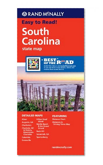
Rand McNally's folded map for South Carolina is a must-have for anyone traveling in or through the state, offering unbeatable accuracy and reliability at a great price. Our trusted cartography shows all Interstate, U.S., state, and county highways and much more.
Points of interest
State park chart
State mileage chart
Driving times map
On-the-road toolbox
Visitor center information
Climate data
State facts & symbols
Easy-to-use legend
Detailed indexed
Detailed maps include: Aiken, Charleston, Columbia, Greenville, Hilton Head Island, Myrtle Beach, North Augusta/Augusta, GA; Rock Hill, Spartanburg
Rand McNally Folded Map: South Carolina
📄 Viewing lite version
Full site ›
Book Details
Author(s)Rand McNally
PublisherRand McNally
ISBN / ASIN0528882031
ISBN-139780528882036
AvailabilityUsually ships in 24 hours
Sales Rank41,824
MarketplaceUnited States 🇺🇸