Rand McNally Easy To Read: Alaska State Folded Map
📄 Viewing lite version
Full site ›
Book Details
Author(s)Rand McNally
PublisherRand McNally
ISBN / ASIN0528882163
ISBN-139780528882166
AvailabilityUsually ships in 24 hours
Sales Rank9,043
MarketplaceUnited States 🇺🇸
Description ▲
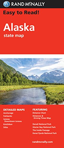
Rand McNally's Easy To Read State Folded Map is a must-have for anyone traveling in and around Alaska, offering unbeatable accuracy and reliability at a great price. Our trusted cartography shows all Interstate, U.S., state, and county highways, along with clearly indicated parks, points of interest, airports, county boundaries, and streets. The easy-to-use legend and detailed index make for quick and easy location of destinations. You'll see why Rand McNally folded maps have been the trusted standard for years. Regularly updated, full-color maps 50% larger map with a bigger type size than the Rand McNally Folded Map Clearly labeled Interstate, U.S., state, and county highways Indications of parks, points of interest, airports, county boundaries, and more Mileage and driving times map Detailed index Convenient folded size Coverage Area Detailed maps of: Anchorage, Denali National Park, Fairbanks, The Inside Passage, Juneau, Downtown Juneau, Ketchikan, Sitka Product Details Dimensions (unfolded): 28" x 40".
Similar Products ▼
- Traveler's Guide to Alaskan Camping: Alaskan and Yukon Camping with RV or Tent (Traveler's Guide series)
- The MILEPOST 2020: Alaska Travel Planner
- Fodor's Alaska (Full-color Travel Guide)
- Easy To Read: New York State Map (Rand McNally Easy to Read!)
- Alaska (National Geographic Adventure Map)
- Easy To Read: Georgia State Map (Rand McNally Easy to Read!)
- Easy to Read!: Illinois State Map
- Easy To Read: California State Map (Rand McNally Easy to Read!)
- Delorme Alaska Atlas and Gazetteer
- Canada West (National Geographic Adventure Map)