Maps have been around in some form or other since humans first understood the need to record their physical space, and for the past hundred years, the National Geographic Society has been at the forefront of mapmaking. This Fourth Edition of our popular Family Reference Atlas of the World brings you the world and its marvels—through maps. Using the latest technological advances, satellite data has been compiled to create some 1,400 images—maps, diagrams, graphs, and tables, as well as National Geographic’s signature color photographs—to allow you to examine the most remote corners of the globe.
In an era when political, health, climatic, and environmental crises anywhere on the globe can affect our daily lives, maps provide a time-honored way to navigate the realities we face. With this atlas, you hold a powerful yet accessible tool to understanding the interplay of global forces at work in the fast-changing but always miraculous planet that is our home.
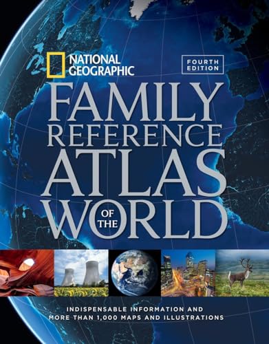
National Geographic Family Reference Atlas of the World, Fourth Edition: Indispensable Information and More Than 1,000 Maps and Illustrations
📄 Viewing lite version
Full site ›
45.84
USD
🛒 Buy New on Amazon 🇺🇸
Book Details
Author(s)National Geographic,
PublisherNational Geographic
ISBN / ASIN1426215436
ISBN-139781426215438
Sales Rank54,992
CategoryAtlases
MarketplaceUnited States 🇺🇸
Description ▲
Similar Products ▼
- Be a Geo Bee: 1,575 Questions for Aspiring Geography Bees
- Collins World Atlas: Paperback Edition
- Know Geography™ World Atlas Grades 9-12
- 2019 Rand McNally Large Scale Road Atlas
- National Geographic Kids World Atlas, 5th Edition
- History of the World Map by Map
- How to Ace the National Geographic Bee, Official Study Guide, Fifth Edition
- National Geographic Student World Atlas
- National Geographic Almanac of World History, 3rd Edition
- Geography of the World: The Essential Family Guide to Geography and Culture