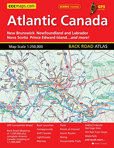
GPS compatible 1:250,000 back road
mapping of New Brunswick, Nova
Scotia, PEI and the Avalon Peninsula
area of Newfoundland. Includes
provincial mapping at 1:1,500,000 of
all the Atlantic Canada provinces.
Also includes distance chart, scenic
routes, community and road index
plus many map features such as
points of interest, national historic
sites, viewpoints, campgrounds,
beaches, waterfalls and more!
Atlantic Canada Back Road Atlas
📄 Viewing lite version
Full site ›
Book Details
Author(s)MapArt Publishing
PublisherMapArt Publishing Corp
ISBN / ASIN1554861004
ISBN-139781554861002
AvailabilityUsually ships in 24 hours
Sales Rank109,456
MarketplaceUnited States 🇺🇸
Description ▲
Similar Products ▼
- Scenic Driving Atlantic Canada: Nova Scotia, New Brunswick, Prince Edward Island, Newfoundland & Labrador
- Lonely Planet Nova Scotia, New Brunswick & Prince Edward Island (Travel Guide)
- Nova Scotia
- Frommer's EasyGuide to Prince Edward Island, Nova Scotia and New Brunswick (Easy Guides)
- Moon Atlantic Canada: Nova Scotia, New Brunswick, Prince Edward Island, Newfoundland & Labrador (Travel Guide)
- Newfoundland and Labrador
- Canada East (National Geographic Adventure Map)
- Moon Nova Scotia, New Brunswick & Prince Edward Island (Travel Guide)
- Fodor's Nova Scotia & Atlantic Canada: with New Brunswick, Prince Edward Island, and Newfoundland (Travel Guide)
- New Brunswick Road Map