- Topographic map. Outdooor recreation map. Hiking trails.
- Regularly revised. UTM grid is printed on the map to aid with GPS navigation. Waterproof.
- Tear-resistant. Backcountry campsites and zones. Trail descriptions.
- Jedediah Smith Wilderness. National Elk Refuge. Detailed map of Grand Teton Area.
- Comprehensive recreational map of Wyoming's Grand Teton National Park. Information on Fort Meade Recreation Area, Black Hills Experimental Forest, Bridger Teton National Forest, Caribou Targhee National Forest, Deerfield Lake, Jedediah Smith and Gros Ventre Wilderness areas, John D. Rockefeller Jr. Memorial Parkway, Colter Bay Village, Sturgis and Jackson, Snow King Mountain, Jackson Hole Mountain Resort, and Grand Targhee Resort
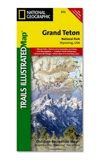
Grand Teton National Park Map (National Geographic Trails Illustrated Map, 202)
📄 Viewing lite version
Full site ›
Book Details
Author(s)National Geographic Maps
PublisherNational Geographic
ISBN / ASIN1566954371
ISBN-139781566954372
AvailabilityIn Stock
CategoryMap
MarketplaceUnited States 🇺🇸
Description ▲
More Books in Map
Italy South 1:500,000 Travel Map (Travel Reference Map…
View
Veneto/Friuli-Venezia Giulia (Regional Road Map)
View
France, Reversible (Maps/Country (Michelin))
View
Central America Nelles Map (English, French, Italian a…
View
Corfu 1:50 000 (English, Spanish, French, Italian and …
View
Southeast Lighthouses Map - Laminated Poster
View
South America Classic [Enlarged and Laminated] (Nation…
View
Maine, New Hampshire & Vermont State Laminated Map
View
Afghanistan 1:1,000,000 Travel Map (International Trav…
View