Map of Elizabethan London, 1572: Braun and Hogenberg's (Old House)
📄 Viewing lite version
Full site ›
Book Details
PublisherShire Publications Ltd
ISBN / ASIN1908402245
ISBN-139781908402240
Sales Rank1,654,922
MarketplaceUnited States 🇺🇸
Description ▲
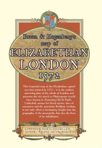
The earliest entirely extant city plan of London, this map of the Elizabethan capital was first printed in 1572. As well as being a beautiful decorative piece, it also offers an invaluable insight into the geography of London and lives of its inhabitants. It features the infamous Tower of London, a bear baiting arena, the Charterhouse monastery, the monument at Chary-ncros, Old St Paul's Cathedral and even local wildlife in the grassy fields north of Holborn.