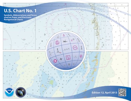
U.S. Chart No. 1: Symbols, Abbreviations and Terms used on Paper and Electronic Navigational Charts, 12th edition
📄 Viewing lite version
Full site ›
Book Details
PublisherParadise Cay Publications
ISBN / ASIN1937196976
ISBN-139781937196974
AvailabilityUsually ships in 24 hours
Sales Rank62,809
CategoryReference
MarketplaceUnited States 🇺🇸
Description ▲
This edition of U.S. Chart No. 1 has a new name and a new look. It's title is nowSymbols, Abbreviations and Terms used on Paper and Electronic Navigational Charts. For the first time, U.S. Chart No. 1 presents both of the major symbology sets used for marine navigation. As in previous editions, the symbols used on paper nautical charts produced by NOAA and the NGA and digital raster representations of those charts, such as NOAA Raster Nautical Chart (NOAA RNC's), are presented in lettered sections organized in categories, such as Landmarks, Depths, and Lights. New in this edition is the inclusion of the corresponding symbols used to portray Electronic Navigational Chart (ENC) data on Electronic Chart Display and Information Systems (ECDIS) as specified by the International Hydrographic Organization (IHO).
More Books in Reference
Semiotic and Structuralist Analyses of Fiction: An Int…
View
Forensic Genealogy
View
The Internet Revolution (Defining Moments)
View
Toll-Free Phone Book USA 2009: A Directory of Toll-fre…
View
New American Roget's College Thesaurus in Dictionary F…
View
Packet Video: Modeling and Signal Processing (Artech H…
View
BBC Micro and Acorn Electron games: Tetris, SimCity, S…
View
Capital and Communities in Black and White: The Inters…
View
EPSL Frontiers, Volume 1: Collection 2002-2003 (Vol 1)
View