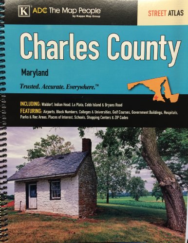
Charles County Maryland Street Atlas
📄 Viewing lite version
Full site ›
⌛ 🇨🇦 Canada pricing being fetched…
Prices will appear once fetched — usually within a few minutes.
View in:
🇺🇸 USA
Book Details
PublisherKappa Map Group
ISBN / ASINB00K38CSWW
ISBN-13978B00K38CSW5
MarketplaceCanada 🇨🇦
Description ▲
The Charles County, MD Atlas is a full-color street atlas, including: Waldorf, Indian Head, La Plata, Cobb Island, and Bryans Road; and features: Airports, Block Numbers, Colleges and Universities, Golf Courses, Government Buildings, Hospitals, Parks and Rec Areas, Places of Interest, Schools, Shopping Centers, and ZIP Codes