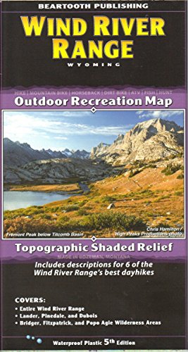
One of the most famous mountain ranges in the United States, the Winds often defy reason with their beauty. For decades this range has been a destination for backpackers and rock climbers from around the world. Anyone who knows the Winds will tell you that to truly experience the range, you must trek for two or more days into it. That is mostly true, but we have included descriptions for six of the Winds' best dayhikes on this map for you day trekkers. And even for campers, you can't go wrong with the Winds. The photo above was taken from next to the Green River Lakes Campground.
This map covers the towns of Lander, Pinedale, and Dubois, and the Bridger, Fitzpatrick, and Popo Agie Wilderness Areas. All trailheads and access roads are also shown to get your trip started successfully.
Scale: 1:100,000
Contour Interval: 100 feet
Size Unfolded: 25.2 x 39.2 inches
Size Folded: 4.2 x 8.0 inches