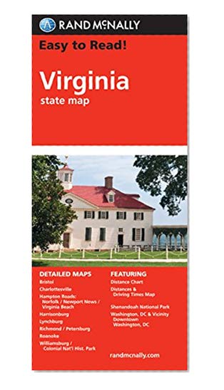
Easy To Read: Virginia
Book Details
Author(s)
Rand McNally
Publisher
Rand McNally
ISBN / ASIN
0528882090
ISBN-13
9780528882098
Availability
Usually ships in 24 hours
Sales Rank
#36,111
Marketplace
United States 🇺🇸
Ratings & Reviews
No reviews yet — be the first!
No reviews yet.
Description
Rand McNally's folded map for Virginia is a must-have for anyone traveling in or through the state, offering unbeatable accuracy and reliability at a great price. Our trusted cartography shows all Interstate, U.S., state, and county highways and much more.
Points of interest
State park chart
State mileage chart
Driving times map
On-the-road toolbox
Visitor center information
Climate data
State facts & symbols
Easy-to-use legend
Detailed indexed
Coverage Area
Detailed maps include: Alexandria/Arlington, Bristol, Charlottesville, Hampton Roads: Norfolk/Newport News/Virginia Beach, Lynchburg, Richmond/Petersburg, Roanoke, Shenandoah National Park, Washington, D.C. & Vicinity, Williamsburg/Colonial National Histo
Product Details
Measures 9.0" x 4.125" and folds out to 25.5" x 36.75"
Similar Products


