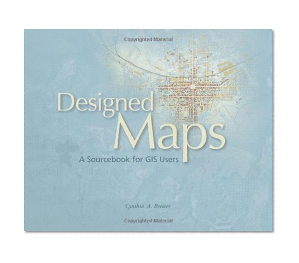


Designed Maps: A Sourcebook for GIS Users
Price not available for France
You can still browse on Amazon. Try another country above.
Book Details
Author(s)
Cynthia A Brewer
Publisher
Esri Press
ISBN / ASIN
1589481607
ISBN-13
9781589481602
Category
Technology & Engineering
Marketplace
France 🇫🇷
Ratings & Reviews
No reviews yet — be the first!
No reviews yet.
Description
This sequel to the highly successful Designing Maps, offers a graphics-intensive presentation of published maps, providing cartographic examples that GIS users can then adapt for their own needs. Each chapter characterizes a common design decision and includes a demonstration map, which is annotated with specific information needed to reproduce the design, such as text fonts, sizes and styles; line weights, colors, and patterns; marker symbol fonts, sizes, and colors; and fill colors and patterns. Visual hierarchies and the purpose of each map are considered with the audience in mind, drawing a clear connection between intent and design. The book also includes a valuable task index that explains what ArcGIS 9 tools to use for desired cartographic effects. From experienced cartographers to those who make GIS maps only occasionally, all GIS users will find this book to be an indispensable resource.




