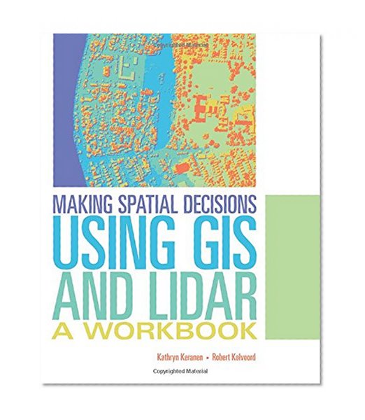


Making Spatial Decisions Using GIS and Lidar: A Workbook
Book Details
Author(s)Kathryn Keranen, Robert Kolvoor
PublisherEsri Press
ISBN / ASIN1589484290
ISBN-139781589484290
CategoryTechnology & Engineering
MarketplaceCanada 🇨🇦
Description
The third book in the Making Spatial Decisions series, Making Spatial Decisions Using GIS and Lidar focuses on scenario-based problem solving using an integrated workflow in ArcGIS for Desktop. The scenarios in Making Spatial Decisions Using GIS and Lidar feature lidar as the primary data source and lidar-related analysis as the primary skill focus. Lidar is a powerful, and increasingly popular, data source used to create elevation and terrain models with very high accuracy.
Students and self-learners can use the exercises in this book to develop their GIS skills. Downloadable data and access to a 180-day free trial of ArcGIS are available on the Esri Press "Book Resources" webpage, esripress.esri.com/bookresources. Instructor resources are available by contacting esripress@esri.com.
Students and self-learners can use the exercises in this book to develop their GIS skills. Downloadable data and access to a 180-day free trial of ArcGIS are available on the Esri Press "Book Resources" webpage, esripress.esri.com/bookresources. Instructor resources are available by contacting esripress@esri.com.
More Books in Technology & Engineering