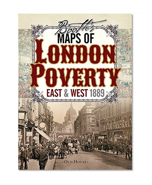
Booth's Maps of London Poverty, 1889: East & West London (Old House)
Price not available for Germany
You can still browse on Amazon. Try another country above.
Book Details
Author(s)
Charles Booth
Publisher
Old House
ISBN / ASIN
1908402806
ISBN-13
9781908402806
Marketplace
Germany 🇩🇪
Description
Two maps of Victorian London colored street by street show the lifestyle of the inhabitants from the wealthy upper classes to the vicious and semi-criminal lowest class. These two maps classify London streets into seven categories from the very poor lowest class mainly in the east end (but with some surprising enclaves in the fashionable west) right up to the wealthy upper classes in Marylebone and Mayfair. A fascinating resource for genealogists and all lovers of London's past.
Charles Booth was appalled by conditions in London's docklands and vowed to do something about it. Realising that the situation needed to be accurately assessed he published numerous surveys that reported on the living conditions, lifestyle and income of Londoners.
Charles Booth was appalled by conditions in London's docklands and vowed to do something about it. Realising that the situation needed to be accurately assessed he published numerous surveys that reported on the living conditions, lifestyle and income of Londoners.

