Standard Map SMF122 Standard Laminated Map, Pensacola
Price not available for Canada
You can still browse on Amazon. Try another country above.
Book Details
Description
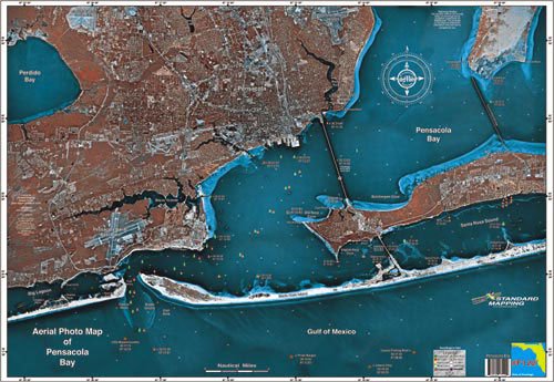
Features. This satellite aerial photo map is the perfect tool for the fisherman or outdoor enthusiast. The high resolution satellite photo map allows the inshore fisherman to see more accurate detail and hidden spots than that of a traditional navigation chart. Backwater areas come alive in this map. Get to places most people dont know about. Location - Pensacola
