Charles County Maryland Street Atlas
Price not available for India
You can still browse on Amazon. Try another country above.
Book Details
Description
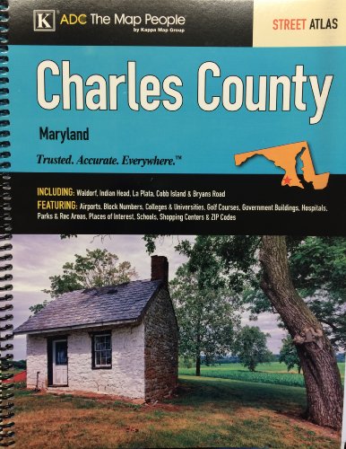
The Charles County, MD Atlas is a full-color street atlas, including: Waldorf, Indian Head, La Plata, Cobb Island, and Bryans Road; and features: Airports, Block Numbers, Colleges and Universities, Golf Courses, Government Buildings, Hospitals, Parks and Rec Areas, Places of Interest, Schools, Shopping Centers, and ZIP Codes
