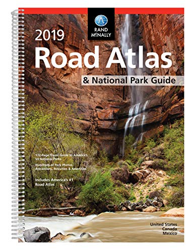
Pinpoint the best in the best:
America's 59 national parks. With essential information and tips, hundreds of photos
and maps, and a complete road atlas, this guide is all you need to have extraordinary park experiences.
A four-color, 132-page National Park Guide details the best of the best in each park---from trails, drives, and natural wonders to programs, museums, and lodges.
Hundreds of photos capture the essence of each park.
Park inset maps highlight key points-of-interest.
A completely updated 2019 Road Atlas makes mapping out and taking trips a breeze!
Other Features
Updated maps of every U.S. state and Canadian province and an overview map of Mexico
Inset maps of over 350 cities and 20 U.S. national parks
Road construction and conditions contact information for every state conveniently located above the maps
Mileage chart showing distances between 90 North American cities and national parks along with a driving times map
Tell Rand! As much as we work to keep our atlases up to date, conditions change quickly and new construction projects begin frequently. If you know of something we haven't captured in our atlas, let us know at randmcnally.com/tellrand.
Tourism websites and phone numbers for every U.S. state and Canadian province on map pages
Product Details
ISBN: 0528019589
EAN: 9780528019586
UPC: 070609019581
SRP: $24.95
Paperback
Spiral Binding
272 pages
Dimensions: 10.875" x 15.3125"
2019 Rand McNally National Park Atlas & Guide (Rand McNally Road Atlas)
📄 Viewing lite version
Full site ›
Book Details
Author(s)Rand McNally
PublisherRand McNally
ISBN / ASIN0528019589
ISBN-139780528019586
AvailabilityUsually ships in 24 hours
Sales Rank4,074
CategoryPaperback
MarketplaceUnited States 🇺🇸
Description ▲
Similar Products ▼
- 2019 Rand McNally Large Scale Road Atlas
- 50 States, 5,000 Ideas: Where to Go, When to Go, What to See, What to Do
- 100 Parks, 5,000 Ideas: Where to Go, When to Go, What to See, What to Do
- Road Trip USA: Cross-Country Adventures on America's Two-Lane Highways
- National Geographic Road Atlas 2019: Adventure Edition [United States, Canada, Mexico] (National Geographic Recreation Atlas)
- Rand McNally 2020 Large Scale Road Atlas
- National Geographic Complete National Parks of the United States, 2nd Edition: 400+ Parks, Monuments, Battlefields, Historic Sites, Scenic Trails, Recreation Areas, and Seashores
- 2019 Rand McNally Road Atlas
- Folded Map: United States
- National Geographic Guide to Scenic Highways and Byways, 5th Edition: The 300 Best Drives in the U.S.
More Books in Paperback
Nightmare Hour TV Tie-in Edition
View
First Light
View
The Miles Between
View
Prize Stories 1990: The O. Henry Awards (Pen / O. Henr…
View
Democracy Begins Between Two
View
The Model Locomotive Engineer, Fireman, and Engine Boy
View
Bloodline in the Sand
View
Making America, Volume A, Brief, 2nd Ed + Perfect Unio…
View
Ellis, Becoming a Master Student, 11th Edition Plus My…
View