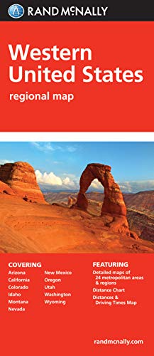


Folded Map: Western United States
Book Details
Author(s)Rand McNally,
PublisherRand McNally
ISBN / ASIN0528882112
ISBN-139780528882111
Sales Rank3,447
CategoryMap
MarketplaceUnited States 🇺🇸
Description
Rand McNally's folded map featuring the Western United States is a must-have for anyone traveling in and around this part of the country, offering unbeatable accuracy and reliability at a great price. Our trusted cartography shows all Interstate, state, and county highways, along with clearly indicated points of interest, airports, county boundaries, and more.
You'll see why Rand McNally folded maps have been the trusted standard for years.
Regularly updated, full-color maps
Clearly labeled Interstate, U.S., state, and county highways
Detail maps of major cities, a mileage chart, and a Mileages & Driving Times Map
Indications of parks, points of interest, airports, county boundaries, and more
Easy-to-use legend
Detailed index
Convenient folded size
Coverage Area
States covered: Arizona, California, Colorado, Idaho, Montana, Nevada, New Mexico, Oregon, Utah, Washington, Wyoming
Product Details
Measures 9.5" x 4.125" and folds out to 40" x 28".
Similar Products
More Books in Map


![South America Classic [Enlarged and Laminated] (National Geographic: Reference Map) (Reference - Continents)](https://www.ebooknetworking.net/books/079/225/med0792250206.jpg)


More Books by Rand McNally,


