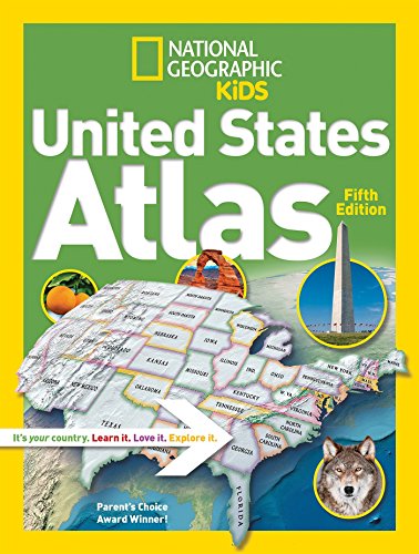
National Geographic Kids United States Atlas
8.24
USD
Book Details
Author(s)
National Geographic Kids,
Publisher
National Geographic Children's Books
ISBN / ASIN
1426328311
ISBN-13
9781426328312
Sales Rank
#13,057
Category
Paperback
Marketplace
United States 🇺🇸
Ratings & Reviews
No reviews yet — be the first!
No reviews yet.
Description
Kids will have fun learning about every U.S. state in this amazing atlas, packed with maps, stats, facts, and pictures. National Geographic's world-renowned cartographers have paired up with education experts to create maps of the 50 states, U.S. territories, and Washington, D.C., that pinpoint the physical features, capitals, and towns and cities of each state. Discover the latest data and trends along with colorful photography of each state and the people who live there.
Key points reflect the latest information about land and water, people, and places. Lively essays cover each region of the country. Eight specially themed maps on nature, population, energy, climate, and more, delve deeper into key issues. State birds and state flags add to the high visual interest. This is a great reference for home and school with all the basics kids need to know to succeed in middle school, high school, and beyond.
Key points reflect the latest information about land and water, people, and places. Lively essays cover each region of the country. Eight specially themed maps on nature, population, energy, climate, and more, delve deeper into key issues. State birds and state flags add to the high visual interest. This is a great reference for home and school with all the basics kids need to know to succeed in middle school, high school, and beyond.
Similar Products