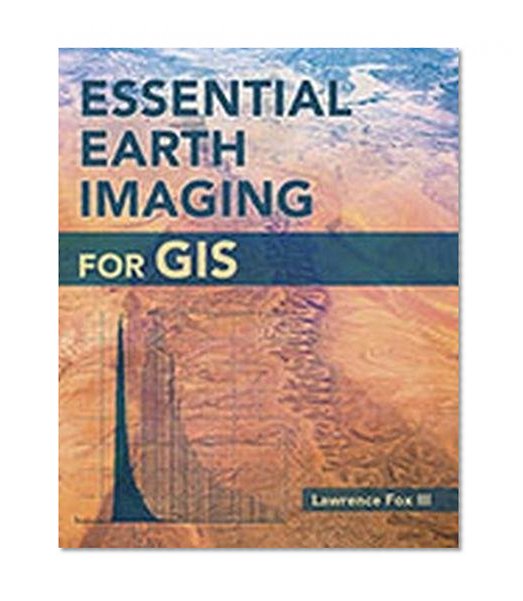
Essential Earth Imaging for GIS / Lawrence Fox III
| List Price: | |
Our Price: $41.80 | |
|
For Bulk orders
| |
|
Used Book Price: $42.71 | |
| Essential Earth Imaging for GIS / Lawrence Fox III | |
| Publisher: Esri Press | |
| Availability:Usually ships in 24 hours | |
| Sales Rank: 1167725 | |
|
A guide to imaging technology and management, Essential Earth Imaging for GIS discusses characteristics of images obtained from aircraft and spacecraft, and how to enhance, register, and visually interpret multispectral imagery and point clouds. Geographic information system (GIS) professionals can use this book to learn about basic imaging technology. Students can use this book as a reference for introductory GIS courses that include multispectral image display and analysis.
Companion exercises and access to a free 180-day trial of ArcGIS are available on the Esri Press Book Resources webpage, esripress.esri.com/bookresources.
Now you can buy Books online in USA,UK, India and more than 100 countries.
*Terms and Conditions apply
Disclaimer: All product data on this page belongs to .
.
No guarantees are made as to accuracy of prices and information.
Companion exercises and access to a free 180-day trial of ArcGIS are available on the Esri Press Book Resources webpage, esripress.esri.com/bookresources.
Now you can buy Books online in USA,UK, India and more than 100 countries.
*Terms and Conditions apply
Disclaimer: All product data on this page belongs to
 .
.No guarantees are made as to accuracy of prices and information.


