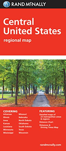
Rand McNally's folded map featuring the Central United States is a must-have for anyone traveling in and around this part of the country, offering unbeatable accuracy and reliability at a great price. Our trusted cartography shows all Interstate, state, and county highways, along with clearly indicated points of interest, airports, county boundaries, and more.
You'll see why Rand McNally folded maps have been the trusted standard for years.
Regularly updated, full-color maps
Clearly labeled Interstate, U.S., state, and county highways
Detail maps of major cities, a mileage chart, and a Mileages & Driving Times Map
Indications of parks, points of interest, airports, county boundaries, and more
Easy-to-use legend
Detailed index
Convenient folded size
Coverage Area
States covered: Arkansas, Illinois, Iowa, Kansas, Louisiana, Minnesota, Mississippi, Missouri, Nebraska, North Dakota, Oklahoma, South Dakota, Texas, and Wisconsin
Product Details
Measures 9.5" x 4.125" and folds out to 40" x 28".
Folded Map: Central United States
📄 Viewing lite version
Full site ›
Book Details
Author(s)Rand McNally
PublisherRand McNally
ISBN / ASIN0528881116
ISBN-139780528881114
AvailabilityUsually ships in 24 hours
Sales Rank45,424
MarketplaceUnited States 🇺🇸
Description ▲
Similar Products ▼
- Folded Map: Eastern United States
- Folded Map: Western United States
- Folded Map: United States
- Easy To Fold: United States
- Easy To Read: North Dakota, South Dakota (Rand McNally State Maps)
- Easy To Read: Montana, Wyoming State (Rand Mcnally Easy to Read!)
- Easy To Read: Texas State Map (Rand McNally Easy to Read!)
- Easy to Read!: Illinois State Map
- 2019 Rand McNally Large Scale Road Atlas
- Folded Map: New England