Rand McNally's Easy To Read State Folded Map is a must-have for anyone traveling in and around Montana and Wyoming, offering unbeatable accuracy and reliability at a great price. Our trusted cartography shows all Interstate, U.S., state, and county highways, along with clearly indicated parks, points of interest, airports, county boundaries, and streets.
The easy-to-use legend and detailed index make for quick and easy location of destinations. You'll see why Rand McNally folded maps have been the trusted standard for years.
Regularly updated, full-color maps
48% larger map with a bigger type size than the Rand McNally Folded Map
Clearly labeled Interstate, U.S., state, and county highways
Indications of parks, points of interest, airports, county boundaries, and more
Mileage and driving times map
Detailed index
Convenient folded size
Coverage Area
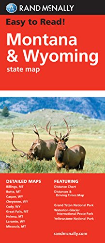
Detailed maps of: Billings, MT; Butte, MT; Casper, WY; Cheyenne, WY; Great Falls, MT; Helena, MT; Missoula, MT; Waterton-Glacier International Peace Park, Yellowstone/Grand Teton National Parks
Product Details
Dimensions (unfolded): 28" x 40".
Easy To Read: Montana, Wyoming State (Rand Mcnally Easy to Read!)
📄 Viewing lite version
Full site ›
⌛ 🇫🇷 France pricing being fetched…
Prices will appear once fetched — usually within a few minutes.
View in:
🇺🇸 USA
Book Details
Author(s)Rand McNally
PublisherRand McNally
ISBN / ASIN0528881817
ISBN-139780528881817
MarketplaceFrance 🇫🇷
Description ▲
Similar Products ▼
- Easy To Read: Idaho State Map (Rand McNally Easy to Read!)
- Easy To Read: North Dakota, South Dakota (Rand McNally State Maps)
- Utah Road Map
- Easy to Read Colorado
- Easy To Read: Washington State Map
- Easy To Read: Oregon State Map (Rand McNally Easy to Read!)
- Folded Map: Western United States
- Easy To Read: Arizona State Map
- Rand McNally Folded Map: Nevada
- Easy To Read: New Mexico State Map