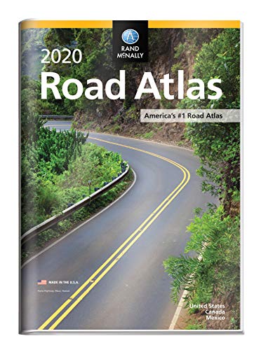


Rand McNally 2020 Road Atlas with Protective Vinyl Cover (Rand McNally Road Atlas United States/ Canada/Mexico (GIFT EDITION))
Book Details
Author(s)
Rand McNally
Publisher
Rand McNally
ISBN / ASIN
0528021036
ISBN-13
9780528021039
Availability
Usually ships in 24 hours
Sales Rank
#2,486
Marketplace
United States 🇺🇸
Ratings & Reviews
No reviews yet — be the first!
No reviews yet.
Description
A durable see-through cover enhances the classic Rand McNally Road Atlas, making it travel-ready with added protection against constant use, spills and exposure to the elements. The most trusted and best-selling road atlas on the market, this updated 2020 edition contains maps of every U.S. state and Canadian province, an overview map of Mexico, and detailed inset maps of over 350 cities and 25 national parks. Road construction and conditions contact information for every state conveniently located above the maps. Contains mileage chart showing distances between 90 North American cities and national parks along with a driving times map. Other Features Rand McNally presents six of our favorite national parks big and small, east and west that showcase this country's astonishing beauty, highlight essential visitor information, and offer insightful travel tips. Tell Rand! As much as we work to keep our atlases up to date, conditions change quickly and new construction projects begin frequently. If you know of something we haven't captured in our atlas, let us know at randmcnally.com/tellrand. Tourism websites and phone numbers for every U.S. state and Canadian province on map pages Product Details
Similar Products


